Navigating Flood Planning Overlays in Victoria: LSIO, FO, and SBO
Flooding is a significant natural hazard, and Victoria’s planning scheme includes specific overlays designed to manage and mitigate flood risks. If you’re involved in property development or planning or even general land ownership, understanding these overlays – the Land Subject to Inundation Overlay (LSIO), the Floodway Overlay (FO), and the Special Building Overlay (SBO) – is crucial to ensure a smoother process and avoid costly delays or modifications.
What are Flood Planning Overlays?
Flood planning overlays are part of Victoria’s planning framework, embedded in local planning schemes to identify areas vulnerable to flood risks. These overlays establish requirements and considerations to reduce flood-related risks to property, infrastructure, and communities. Here’s a breakdown of the three main overlays:
- Land Subject to Inundation Overlay (LSIO)
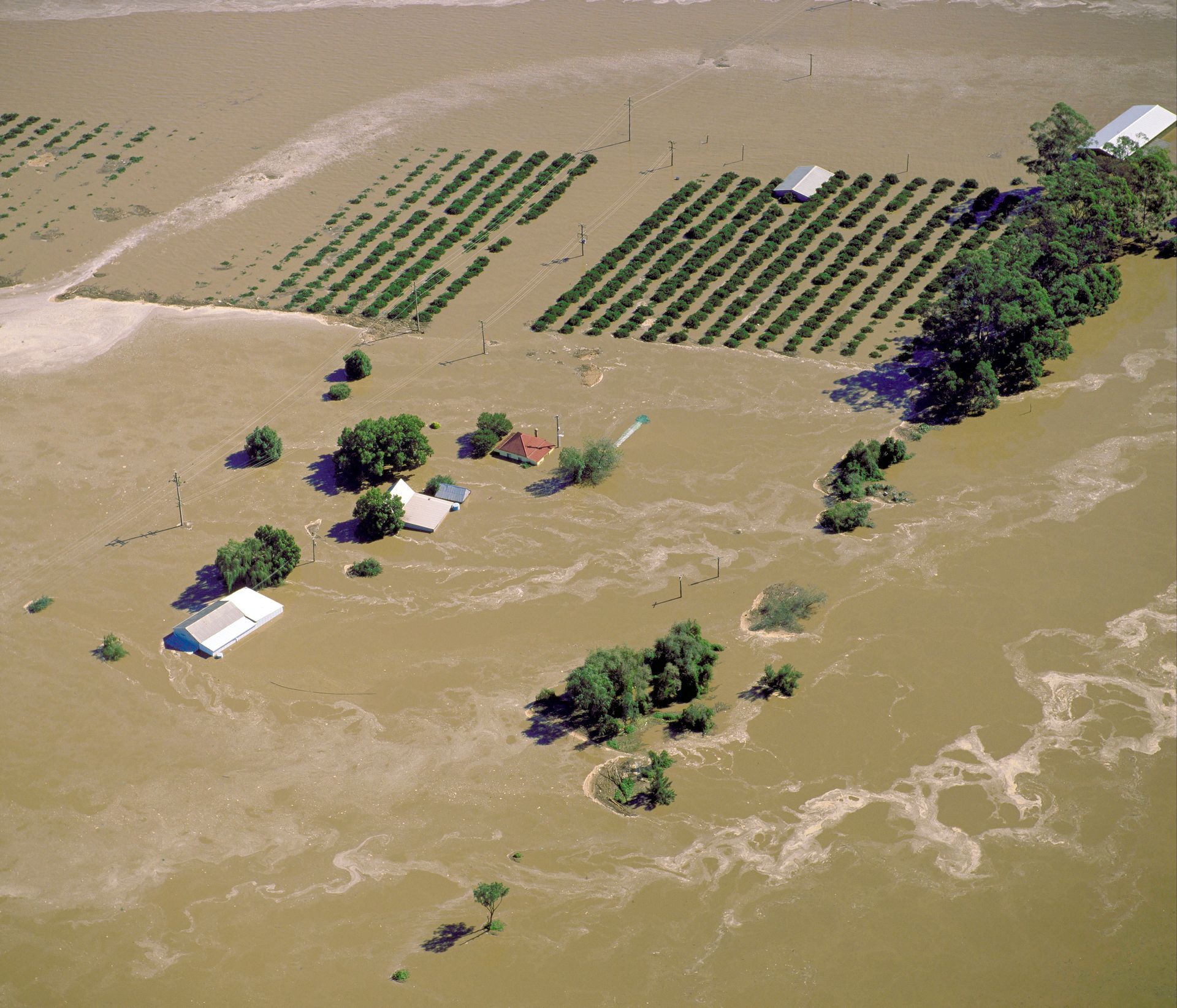
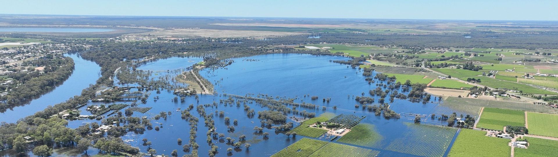
- Purpose: The LSIO covers areas that may experience flooding in a defined flood event - typically the 1% AEP flood event in Victoria. It highlights regions land affected by flooding associated with waterways and open drainage systems. Such areas are commonly known as floodplains.
- Requirements: Developments in LSIO areas typically need to account for flood impacts, ensuring buildings and occupants are adequately protected. Plans might need to show how they manage floodwaters or limit property damage in flood events.
- Implications for Development: The LSIO requires early consideration of flood-resistant design and may influence building and lot elevations and materials.
2. Floodway Overlay (FO)
- Purpose: The FO represents areas within the primary flood path where water moves at high velocity or at significant depths during a flood. These zones are considered essential floodways, which need to remain clear to allow the safe passage of water during significant events.
- Requirements: Development in FO areas is more restricted, as development may impede floodwater flow or result in adverse impacts on adjoining areas. Development potential in these areas is limited and any works must demonstrate that they won’t compromise floodway function or increase flood risk to other properties or key infrastructure.
- Implications for Development: This overlay usually prohibits or heavily restricts construction in these areas, which may make certain developments unviable. Detailed hydraulic analysis may be required for any works proposed in these areas.
3. Special Building Overlay (SBO)
- Purpose: The SBO applies to areas affected by local overland flows, often related to urban stormwater flooding. This overlay addresses risks from stormwater flooding, particularly in areas with limited drainage capacity during heavy rainfall events.
- Requirements: Developments in SBO areas must often include drainage solutions or raised floor levels to protect structures and inhabitants from flooding. Planning permits must consider measures to redirect or control water flows.
- Implications for Development: The SBO typically impacts urban areas and similar to LSIO, requires appropriate consideration in the site design. This may influence the site layout and floor elevations to ensure overland flow is not obstructed and buildings are designed appropriately. Flood modelling may also be required to demonstrate no adverse impacts to off-site properties and infrastructure.
Why Consider Flood Planning Overlays Early?
Flood planning overlays should be assessed early in the development process for several reasons:
- Avoid Costly Redesigns: Recognising flood overlays early on can prevent expensive modifications later. It enables developers to design with flood risk in mind from the outset, reducing the likelihood of needing costly redesigns or worst case - retrofits.
- Ensure Regulatory Compliance: Development in flood-prone areas is subject to strict planning controls to protect communities and the environment. Early consideration ensures compliance with local planning schemes, helping to streamline the approval process.
- Protect Property and Life: Integrating flood resilience into design isn’t just about meeting regulations – it’s about ensuring safety for future occupants. Planning with flood overlays in mind helps create properties better equipped to withstand flooding, protecting residents and reducing potential flood damage.
- Enhance Community Resilience: Well-planned developments contribute to broader community flood resilience. By respecting floodways and managing stormwater flow, developments can help minimise the impact of flooding on surrounding areas, benefiting the entire community.
Check Your Property’s Overlays on VicPlan
Before diving into any development, it’s easy to check your property’s flood overlays. The VicPlan website allows you to view zoning information, including flood overlays, and download a detailed property report. This tool helps identify potential flood-related considerations early on, providing a clearer picture of any planning restrictions and requirements tied to the LSIO, FO, or SBO.
Get Expert Guidance with Cumulus Engineering
Understanding flood overlays and their implications for your site can be complex. Getting specialists like Cumulus Engineering involved early can help you interpret these overlays, understand site-specific requirements, and navigate any constraints early in a project. With experience in flood risk management and development planning, Cumulus can offer tailored advice to ensure your project is both compliant and resilient, saving you time, reducing costs, and providing confidence in flood-prone areas.
In Summary
The LSIO, FO, and SBO are essential tools in Victoria’s planning scheme to identify and manage flood risks. Early consideration of these overlays in development planning is essential for compliance, safety, and sustainability. By working with these guidelines, utilising resources like VicPlan, and involving specialists like Cumulus Engineering, developers can contribute to safer, more resilient communities and reduce the long-term impacts of flooding on both property and people.